
Today marks 2 months on the road, 17 different campgrounds/resorts, and a little over 4,400 miles have been covered. We’ll be in Moab, Utah for a week to explore Arches National Park and take in some Jeep trails! Wednesday when we were still at Capitol Reef NP, it rained the entire day; which I guess is pretty unusual for that area. The rivers flooded, the park was closed the next day, and all of the spur roads off the main roads were closed as well. Luckily for us, the hikes we wanted to complete were off highway 24 and not in the park.
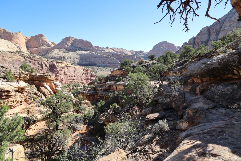
We went on the Cohab Canyon Hike which started at the Fruita Village. Fruita is an historic town that is well known for its orchards. Now it’s used by the park to educate and attract tourists with its museum-quality exhibits from the pioneer era. The hardest part of the hike was climbing up the steep side of the Waterpocket Fold and into the mouth of Cohab. It climbs to the upper base of the canyon about a half mile away and about 400 feet above Fruita. After climbing to the top you’ll find yourself in the walls of the Cohab Canyon which slopes down to Highway 24. Once you’re in the saddle part of the canyon where it’s open, you’ll find other connecting trails. This part of the canyon is very colorful and easy hiking compared to the climb up in the beginning. We stayed on this trail til the end at Highway 24 and then jumped onto the Hickman Bridge Trail. Some people prefer to hike the Hickman Bridge Trail as a separate hike. If you do that, you can park at the trailhead on Highway 24 and skip the Cohab Hike. Cohab was 1.7 miles one way and strenuous at times and pretty easy at others. The Hickman Hike is only about a mile one way but then you have to walk back and then take Cohab back to the car for a total of almost 6 miles. A good hike combines the two trails! Both trails were clearly marked with moderate elevation gain; strenuous at times and moderate at others.


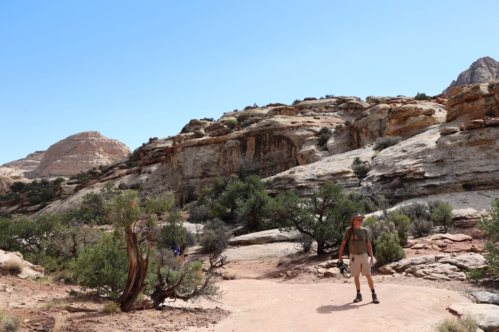


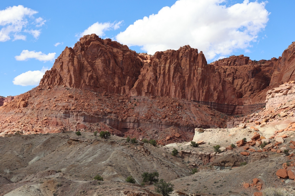
Once we finished the Cohab Trail we crossed over Highway 24 to complete the Hickman Natural Bridge Trail. Once again we found ourselves with a strenuous climb up to the bridge but coming down was a breeze! This is one of the most popular trails in the park and we didn’t know it at the time, but the actual Scenic Road in the park was closed and since this trail was off Highway 24, it was more crowded than normal. But it was still manageable. Hickman Bridge is one of the better knows sites of Capitol Reef and this natural bridge sits 300 feet above the Fremont River and Highway 24 and it’s still below the heights of the surrounding Waterpocket Fold. The trail passes underneath the arch and then heads south to the base of the hill and down to the river. The sky was clear and the hike was beautiful and the views were stunning.

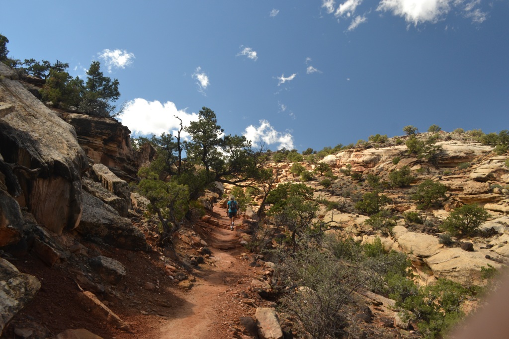


After a quick lunch we decided to try one more hike, the Chimney Rock Hike which initially climbs steeply alongside a fault that has split and offset the rock layers of the cliff in front of the start of the hike. Once you get at the top of the bluff, you’re rewarded with a great view of Chimney Rock, which is a part of the western Waterpocket Fold. The colors of the rock were beautiful and I kept snapping pictures of the rocks all around me. We didn’t do the entire hike as it was getting late and we had already done several hikes that day. It was definitely easier coming down than the initial climb up!!


We needed one more day here (we lost a day due to the rain/flooding) and we would have seen everything we had planned for the trip. Here are a few more random photos. Capitol Reef isn’t visited by as many people as some of the other parks but WE LOVED IT.


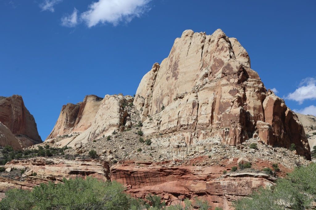


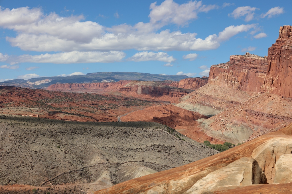
The last photo shows the “capitol” for which the park is named. It resembles the Capitol building in Washington, DC. A reef is something that impedes travel and this area definitely impeded the early pioneers’ travel with the sharp cliffs, valleys, and visible obstacles of the park. Truly one of the most beautiful parks we’ve visited!
